San Francisco’s Top Walking Trails Rated by Distance and Difficulty
From urban strolls to scenic climbs, here are the Bay Area’s best walks — mapped by mileage and challenge.
From urban strolls to scenic climbs, here are the Bay Area’s best walks — mapped by mileage and challenge.
Lace-up sales at REI and Sports Basement are surging, and on any sunny weekend, the packed parking lots along John F. Kennedy Drive tell the story: San Franciscans are choosing local walking trails in record numbers this summer, many searching for routes matched to their fitness level. For the city’s walkers, knowing which trails offer a gentle jaunt and which demand a hiker’s grit can spell the difference between a satisfying day and sore regrets.
This focus on fitness is anything but trivial. According to UCSF public health officials, 22% of adults in San Francisco reported walking for exercise at least 30 minutes a day, up from 18% in pre-pandemic surveys. The city’s aging population and a persistent demand for accessible wellness options mean more residents — from Outer Richmond retirees to Mission District professionals — are navigating their activity choices carefully. With foggy mornings, cool afternoons, and famously hilly streets, choosing the right trail can be a puzzle for locals and visitors alike.
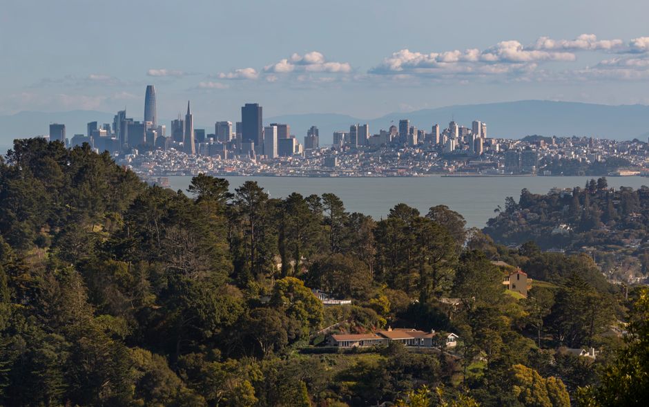
Golden Gate Park remains the city’s signature walking destination, with more than 1,000 acres of connected trails, gardens, and shaded paths. The park’s most popular walking route starts at Stanyan and Haight and follows John F. Kennedy Drive west to Ocean Beach — a relatively flat, stroller-friendly 3.5-mile journey. For walkers seeking a moderate challenge, Strawberry Hill’s loop climbs gently for a mile-long circuit that rewards with lake views and a hint of isolation despite the park’s busy main drives.
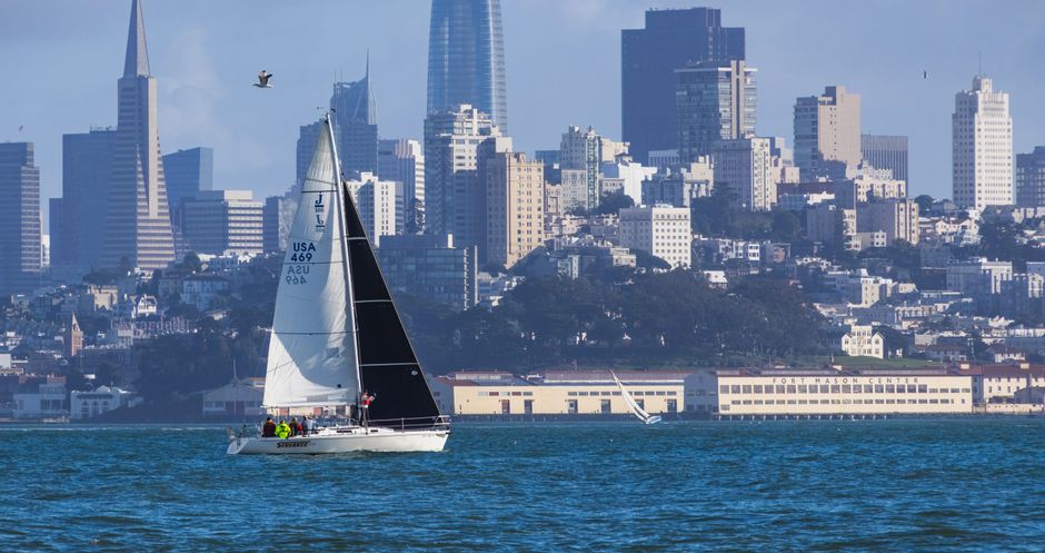
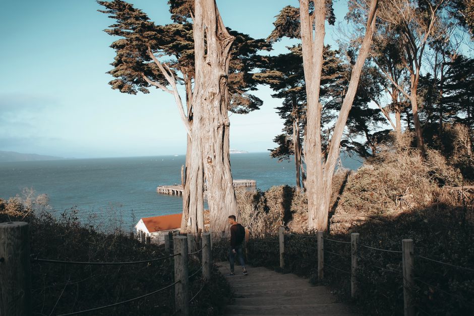
Across town, the Presidio’s network of trails caters to a spectrum of skill levels. Crissy Field Promenade, stretching a flat 4 miles from the Marina Green to Fort Point, draws both dog walkers and serious speedwalkers. For anyone willing to tackle true elevation, the Batteries to Bluffs Trail offers an intense 2-mile roundtrip along steep (and often windy) cliffs, climbing more than 350 feet and requiring solid footwear and a head for heights. Discovery through SF Rec & Parks’ "Healthy Hearts" walking program offers guided outings twice monthly, alternating between Lands End, Glen Canyon Park, and McLaren Park for participants of all ages.
City data from the San Francisco Recreation and Parks Department shows a 39% increase in trail use permits (for organized walks and events) this year compared to 2024, with Golden Gate Park, the Presidio, and Lands End topping the charts. According to AllTrails, a popular trail-rating app, the park-to-beach Golden Gate Park route averages 1,625 unique users per month during summer, while Lands End Trail — a moderately challenging, heavily trafficked 3.1-mile coastal loop leading to the Sutro Baths — averages 2,400 monthly. For comparison, the Twin Peaks Summit climb (less than half a mile, but with a heart-pounding 272-foot elevation gain) is flagged as "moderate-hard" by local running groups.
These numbers matter for both safety and enjoyment. The city’s Senior Wellness Coalition recommends paved, level trails with clear access points — notably the Great Highway pedestrian zone, which stretches 2 miles along Ocean Beach and is closed to car traffic on weekends, drawing multigenerational walkers and families.
For first-timers or those hoping to ramp up their walking routine, experts recommend starting with "easy" rated options: Golden Gate Park’s JFK Drive, Crissy Field, or Lake Merced’s 4.5-mile paved loop (ample parking at Brotherhood Way). Intermediate walkers can test their stamina on Lands End or Strawberry Hill, while anyone craving vertigo-worthy drama should leave time for Batteries to Bluffs or Twin Peaks. Trail surfaces vary — most city trails are paved or packed dirt, but cliffside tracks include steps and uneven footing.
Trail maps are available free of charge at Sports Basement Presidio, Mission Bay Recreation Center, and online via Rec & Parks’ digital guide. For real-time conditions and organized walks, SF Rec & Parks, Health & Wellness (SFHW), and the SF Running Company maintain up-to-date listings. Remember: Many area trails are windier and colder than city streets. Layers, sturdy sneakers, and water bottles are essentials every month of the year.
How does this story make you feel?
Spread the word
About this article
Published by The Daily San Francisco
Daily brief
Free, in your inbox before 7am. Weekdays.
More in Wellness